

US-92
27.9400497,
-82.5057312
Why Some US-92 Incidents Appear Late or Incomplete in Public Reports
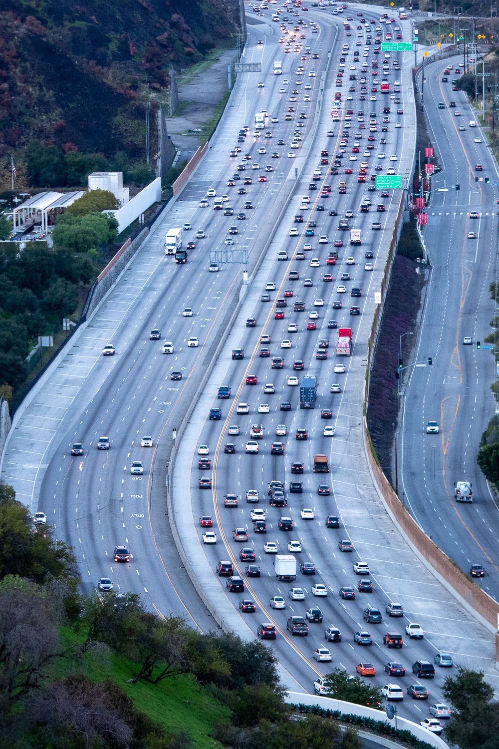

Navigating US-92 requires more than just a map; it requires an understanding of a fragmented information ecosystem. While the highway serves as a critical artery across Florida, the data governing its safety and flow is far from seamless. Traffic and accident updates on US-92 are synthesized from a disjointed array of contributors, including the Florida Department of Transportation (FDOT), state and local law enforcement, municipal governments, media outlets, and proprietary navigation apps like Google Maps or Waze.
The primary challenge for motorists lies in the “siloed” nature of these organizations. Each entity collects, verifies, and disseminates data according to its own internal protocols, technical constraints, and specific institutional goals. Because these platforms often lack a centralized, real-time synchronization bridge, the result is a significant “information lag.” Drivers frequently find themselves caught in congestion caused by an accident that has yet to appear on their dashboard, or they may witness “ghost” reports, incidents that vanish or change status without context.
To navigate US-92 safely and efficiently, it is essential to peel back the layers of these reporting channels. By examining how data moves (or stalls) through these systems, we can better understand why critical crash data is often delayed, lacks granular detail, or, in some instances, fails to reach the public eye entirely.
How FDOT Decides Which US-92 Incidents Appear in Public Advisories
FDOT publishes traffic information based on roadway impact rather than the occurrence of every crash. An incident appears in FDOT systems only after staff confirm that it affects traffic flow, lane availability, or roadway safety along US-92.
FDOT gathers information from traffic cameras, roadway sensors, Road Ranger patrols, and verified partner reports. Each input requires confirmation before publication. This process helps prevent false or misleading alerts, but adds time before an incident becomes visible to the public. Minor crashes that clear quickly or occur on shoulders often remain unlisted because they never disrupt traffic.
FDOT waits for confirmation that an event affects travel conditions. Congestion may build before verification occurs. Drivers may experience slowdowns before official US-92 weather advisories or incident notices appear.
How Law Enforcement Reporting Priorities Affect Public Visibility
Law enforcement agencies document crashes for investigative and safety records, not for live traffic updates. Officers focus first on scene safety, medical needs, and restoring traffic flow on US-92.
Afterward, agencies complete formal reports through internal systems. These records may take hours or days to enter databases that support public access. Navigation platforms and traffic maps rarely pull directly from police documentation because those systems prioritize verification over speed.
Why do police crash reports not appear immediately?
Police reports require review, accuracy checks, and administrative processing. These steps delay public availability.
This process explains why crashes appear late in official records even when drivers witnessed them earlier.
Why Navigation Apps Detect US-92 Incidents Before Agencies Do
Navigation platforms rely on real-time driving behavior rather than verified incident data. When vehicles slow abruptly on US-92, algorithms detect abnormal speed patterns and generate alerts.
These systems often receive direct user input, which can accelerate reporting. However, they do not confirm the cause. A slowdown may result from congestion, weather, construction, or a temporary obstruction rather than a crash.
This approach explains why apps frequently show storm-related traffic alerts or possible incidents before any official confirmation appears.
Why do app alerts change or disappear quickly?
Apps update continuously as traffic conditions shift. When speeds normalize, alerts may vanish without clarification.
Drivers should view these alerts as indicators of traffic behavior, not confirmed incident reports.
Why Many Minor Crashes Never Appear in Public Traffic Feeds
Not every collision on US-92 triggers public reporting. Many minor crashes involve no injuries, no emergency response, and no lane blockage.
Drivers may exchange information and leave the scene within minutes. Without traffic disruption or official response, these events do not enter FDOT feeds, navigation alerts, or news coverage. This absence often confuses drivers who witnessed an incident firsthand.
What determines whether a crash becomes visible
Public systems focus on events that affect other drivers. Crashes without broader impact remain undocumented in traffic feeds.
This limitation contributes to public traffic data limitations along busy corridors like US-92.
Why Incident Descriptions Often Lack Detail
Public traffic systems intentionally limit the information they publish. Most alerts include location, direction, and lane status, but exclude specifics such as vehicle count or injury status.
Agencies avoid releasing unverified or sensitive details that may later change. This restraint reduces confusion and prevents the spread of incorrect information. However, it can make reports feel incomplete to readers seeking clarity.
Why vague wording serves a purpose
General descriptions allow updates without retractions. Agencies prioritize consistency over narrative detail.
Incomplete traffic reports often reflect caution rather than missing data.
How Timing Differences Create Gaps Across Reporting Sources
Each traffic information source updates independently. FDOT, law enforcement, newsrooms, and navigation platforms do not share a single publishing timeline.
A crash on US-92 may first appear as congestion in an app, later as an official advisory, and eventually as a news update. In other cases, news coverage may precede official traffic alerts if reporters receive tips early.
These variations explain why crashes appear late in some systems and early in others.
Why does no single platform show the full picture?
Each system prioritizes a different goal, such as speed, accuracy, or documentation.
Drivers gain better context by comparing multiple sources.
How Weather and Construction Complicate US-92 Incident Reporting
US-92 runs through areas affected by Florida coastal driving conditions, including heavy rain, high winds, and storm surge risks near Daytona Beach. Weather can reduce visibility, flood lanes, or slow traffic without a specific crash.
Construction zones and signal-heavy corridors also cause recurring congestion. Reporting systems may not distinguish between weather-affected road travel, routine delays, and crash-related slowdowns. This overlap often leads drivers to assume an incident exists when none does.
Why congestion alone may trigger alerts
Sudden speed drops trigger systems even without a crash. These alerts may clear once conditions stabilize.
This behavior explains why some reported incidents never receive follow-up details.
What Drivers Should Know About Interpreting US-92 Traffic Reports
Traffic and incident reporting systems reflect deliberate design choices. Delayed accident reports on US-92 usually result from verification requirements or limited roadway impact. Incomplete traffic reports reflect restrained detail rather than missing information.
Drivers traveling through Central Florida benefit from checking more than one trusted source. Official advisories confirm verified impact, while navigation apps show immediate traffic behavior. Understanding these differences helps drivers interpret alerts accurately and avoid confusion when information changes or appears later than expected. For more information about US-92 incidents in public reports, get in touch with us by filling out our contact form on our website.
Accidents currently listed on us92accidents.com
8 accidents in 2022